Greentech Surveying Pte Ltd
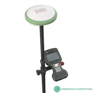
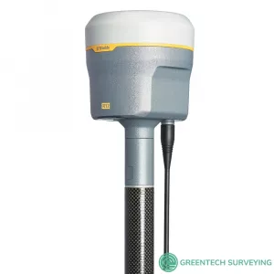
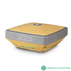
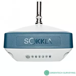
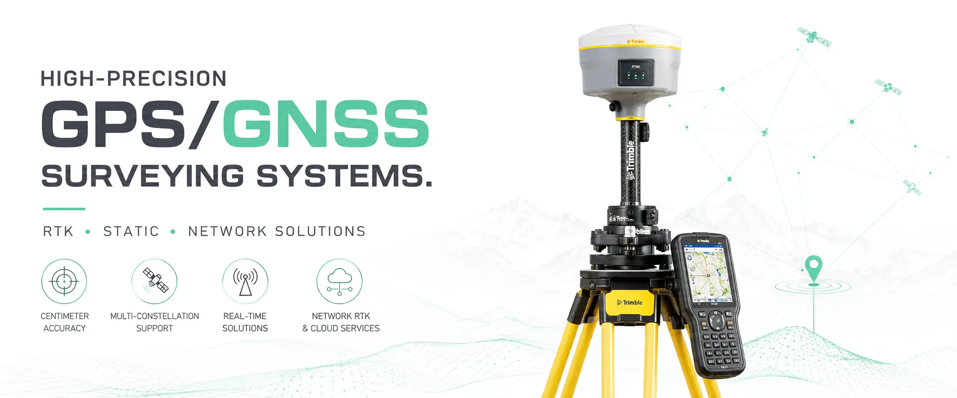
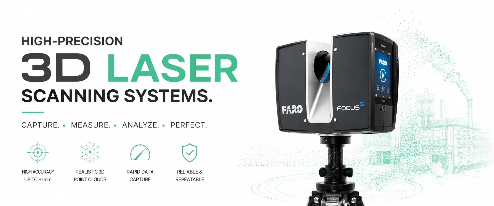
Greentech Surveying is a wholesale distributor for new and used Geosystems Surveying Equipment including Robotic Total Stations, GPS & GNSS Systems, 3D Laser Scanners, XRF Analyzers, Ground Penetrating Radar and Coordinate Measuring Machine.
We are committed to delivering high-quality equipment, best service and support to our clients including Surveyors, Engineers, Contractors, etc
Looking for pre-owned 3d laser scanner? We have in stock ready for sale pre-owned 3d laser scanners below
Product Features